Construction Sites
Aerial Progress Photos - Site Videos - Land Surveying & More
A Better Way to Track Construction Progress Without Being On-Site
Consistent aerial data capture that gives you a clear, up-to-date view of your entire site
We offer a variety of drone services to support a wide range of industries. With solutions for Construction, Engineering, Commercial Real Estate & More... We have the tools and expertise to help you with your next big project!
Our drone photography service is great for building & bridge inspections, construction progress, roof inspections, land surveying, crop monitoring, and many other types of structures or locations with limited accessibility. With our proximity to Washington D.C., we can obtain the proper waivers to conduct UAS flights within the DC FRZ (Drone No Fly Zone).
Drone services with Edwin Photography are quoted per project, as there are many variables to consider with each and every operation. We offer very competetive pricing for high-quality professional UAS solutions. We have many years of experience with UAS operations and digital multimedia creation.
Aerial Progress Photos - Site Videos - Land Surveying & More
Get consistent professional marketing content showing your brand and your projects!
Orthomosiac Drone Mapping & 3D Modeling for Architecture, Engineering, and Construction (AEC)
Accurate, high-resolution imagery of structures, components and hard-to-reach locations without risk to your crew
Visual & Thermal Imaging for Inspection and Safety
FAA Waivers - LAANC Authorizations - DC FRZ
Above UAS has solutions for Visual Inspections, Site & Project Planning, Progress Images, Maintenance & Quality Reports, Company Marketing Footage & More. Increase productivity and safety management on your job sites!
We customize our service to meet your project's needs and offer solutions for long-term project site coverage. Give us a call to discuss your next project.
Check out our recent work with the 'Transform 66 Outside the Beltway' Project!
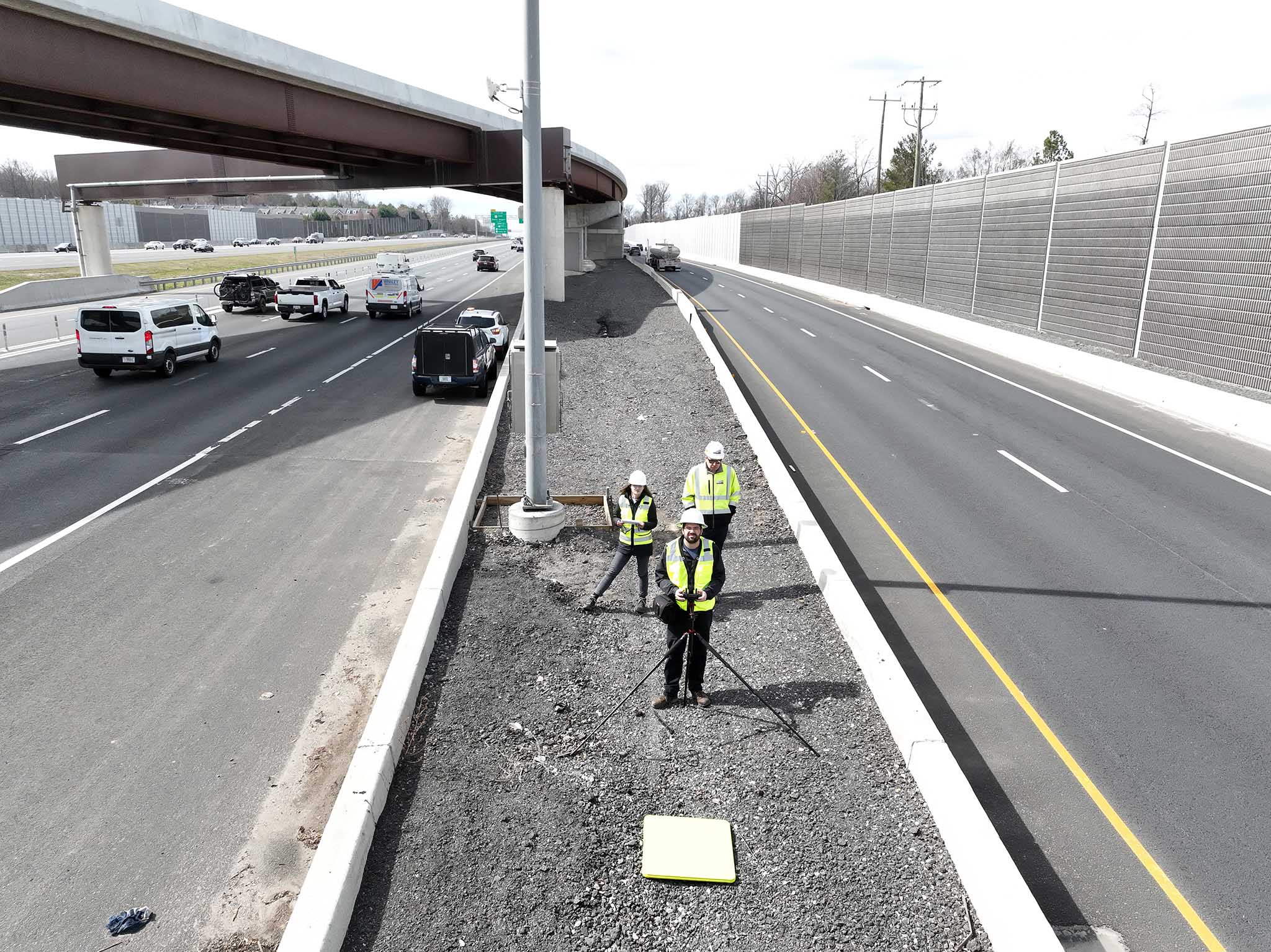
edwinphotography.com/blog/transform-66.html
Commercial Photography, Video Production & Specialized Drone Services in Northern Virginia.